
Search Dearborn Heights Streets by Address
A street name is a starting point, not a resident roll. For a Dearborn Heights street directory search, first standardize the address, then use the county map and the Dearborn Heights city property record to establish the parcel. The parcel number and legal description carry the trail when a deed uses a subdivision lot or block instead of the current street number. From there, a deed can identify title parties, and a library directory can supply a dated address clue. A voter result is person-level only, so it cannot be used to browse an entire street.
- Use the USPS address lookup to check spelling, directional words, unit notation, and the postal ZIP.
- Enter the standardized address in wcCompass, choose Dearborn Heights as the city, and note the parcel shown on the map.
- Run that address, owner name, or parcel in the Dearborn Heights BS&A property search.
- Use the owner and legal description in the Wayne County deed index to work back through recorded transfers.
- For an earlier year, ask the library for the address in its directories and street guides, then pair that result with the relevant census schedule.
Write down each source date. The records do not share one update cycle, and an owner entry does not establish every person connected with the address.
Note: A Dearborn Heights street search is strongest when each result keeps its address, parcel, source date, and the office that supplied it.
Dearborn Heights Street Directory Records
The strongest address trail uses the key each office actually keeps. The assessor and GIS services begin with a parcel or situs address. The recorder concentrates on named grantors and grantees with legal descriptions. Permits and code records are property keyed. Library guides add a historical name-and-address snapshot. Together they make a more useful Dearborn Heights street directory than any single result page.
| Address key | Local record | What it can establish | Access route |
|---|---|---|---|
| Situs street address | Dearborn Heights BS&A assessor card | Owner, parcel, tax context, sales, exemptions, and linked property modules where displayed | BS&A quick search or Assessor contact |
| Parcel and map location | Wayne GIS | Dearborn Heights parcel geometry, street relationship, and adjacent parcels | Interactive maps and wcCompass |
| Legal description and party name | Wayne Register of Deeds | Recorded transfers, mortgages, liens, and recording metadata | Free listing, paid images, office kiosk, or mail |
| Property address | Dearborn Heights building and code modules | Published permit, inspection, complaint, status, or closure fields where available | Building Department and BS&A |
| Year and street spelling | Dearborn Heights library street guides | Historical name or address clues for a dated volume | Library reference collection |
A Dearborn Heights street-by-street search should preserve the source's own terms. The county tax portal, for example, is for delinquent-tax information and is not a full property card. A directory volume is an annual snapshot, not proof that every household member stayed all year.
Standardize Dearborn Heights Street Names
Before searching a Dearborn Heights street directory, use USPS to settle the street line and postal label. Its address mode takes a Street Address and can also accept an optional Company, Apt/Suite/Other field, city, state, and ZIP. The city-and-state route is useful when the street is unknown, while the ZIP route identifies postal city groupings. USPS expressly cautions that a ZIP result does not confirm a person or company at an address.
That distinction matters near Dearborn Heights. The core city-serving ZIPs are 48125 and 48127, but nearby postal labels include Dearborn, Inkster, Garden City, Taylor, and Westland. Keep the postal result as a search aid. Confirm the municipal situs with the parcel map and BS&A instead of changing a city record based on a mail label.
Note: Postal standardization fixes an input field; it does not turn a mailing label into a property, ownership, or household record.
Map Dearborn Heights Streets in wcCompass
wcCompass provides the county map bridge from a Dearborn Heights street address to a parcel. Enter the street address, select a city in Wayne County, run the search, then pan, zoom, and select the parcel. Record the parcel identifier and the legal location before opening the related property result. Wayne County also publishes a Parcel Viewer feature service, although the accessible official text does not document every map popup, layer, or selection control.
Dearborn Heights map browsing can show which parcels touch a block or share a boundary. It does not prove a social relationship, a shared household, or current occupancy. When comparing more than one parcel, keep separate notes for each situs address, parcel number, and record date. That prevents one street result from being attached to its neighbor.
Use Dearborn Heights Street Directory Fields
BS&A is the central street-to-parcel search for Dearborn Heights. Its public hub identifies Address, Name, and Parcel Number quick-search routes. The accessible record text verifies a parcel format of 33 038 01 0479 000, with spaces retained as displayed. A sample detail page offered an account action to claim a property and a $6.95 option for unclaimed detail. Visible fields can vary with the record and account state, so only record fields actually shown for the address being researched.
| BS&A field or action | Type | Required | Verified use |
|---|---|---|---|
| Address | Quick-search route | No | Find a parcel from a street address. |
| Name | Quick-search route | No | Search an owner or named property party. |
| Parcel Number | Quick-search route | No | Use the displayed parcel format exactly. |
| Search | Button | Yes | Runs the selected lookup route. |
| Claim property | Account action | Conditional | Up to five properties may be claimed free. |
| Buy unclaimed detail | Payment action | Conditional | The inspected sample offered $6.95 access. |
| Sale, building, and code modules | Linked modules | No | Related record modules, with exact filters not documented. |
The sample parcel page tied an address to a parcel and named owner, but it did not establish a complete resident list. It is safer to treat an assessor result as an ownership and property clue, then use a date-appropriate record for the next question.
Note: Dearborn Heights property modules can change by record and account state, so capture only the fields visible for the parcel under review.
Separate Dearborn Heights Situs and Mail
Street records use more than one kind of address. The situs is the physical property location. A mailing address receives tax notices and may be elsewhere. The public tax record can therefore contain both without showing who is at the situs today. This difference is especially important when an owner has more than one property or when mail is sent through another location.
- Parcel
- A numbered land unit used by the assessor and map system to connect a property with its records.
- Situs address
- The physical street location of the property. It is not automatically the same as the owner's mailing address.
- Plat
- A recorded subdivision map. Its lot and block references can keep the trail intact when a street number is unclear.
- Criss-cross directory
- A reverse-style directory arranged by address when a particular volume includes that format.
Keep the legal description with both addresses. A lot, block, subdivision, or metes-and-bounds description often follows a parcel more reliably than a street number does.
Check Dearborn Heights Street Tax Records
The Wayne County tax portal is a free follow-up when a Dearborn Heights address or parcel raises a delinquent-tax question. It accepts municipality and address or parcel searching, with street-name guidance in the portal. It should be read as a tax-status tool, not as a substitute for the city assessor card, the deed index, or a current household record.
Use the tax result to confirm the parcel context before moving to other sources. If the search does not find a record, Wayne County publishes the Treasurer contact route rather than a promise that all historic tax details are online.
See the Wayne County property-tax search before using its filters for a Dearborn Heights street directory search.
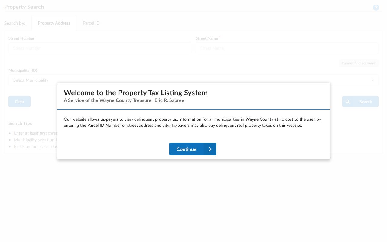
The search screen illustrates why municipality, street, and parcel inputs should remain separate notes in a street record trail.
Trace Deeds Along Dearborn Heights Streets
The Wayne County Register of Deeds indexes recorded parties, not a guaranteed historical street-address field. Start with the owner and legal description from BS&A. Find that owner as grantee to identify an acquisition deed, then read the seller as grantor. Search that seller as grantee for the earlier acquisition and compare the legal description at every transfer. Mortgages, assignments, discharges, liens, and plats can supply dates or explain a change in the description.
The recorder's search-services page says online recorded-document searching begins January 1, 1960. The county home page separately describes online records as post-1986. Keep both statements in the research notes rather than choosing one unsupported cutoff. Older materials are reached through the office's historic kiosks or mail search. The office lists a $15 address search, $2 per-page copies, and $10 certification for its mail route.
Wayne County handles roughly 500,000 documents per year. That scale is a reason to narrow every party search with a role, date, and legal description.
Open the Wayne County public land-record search to see the free-listing and paid-access routes.
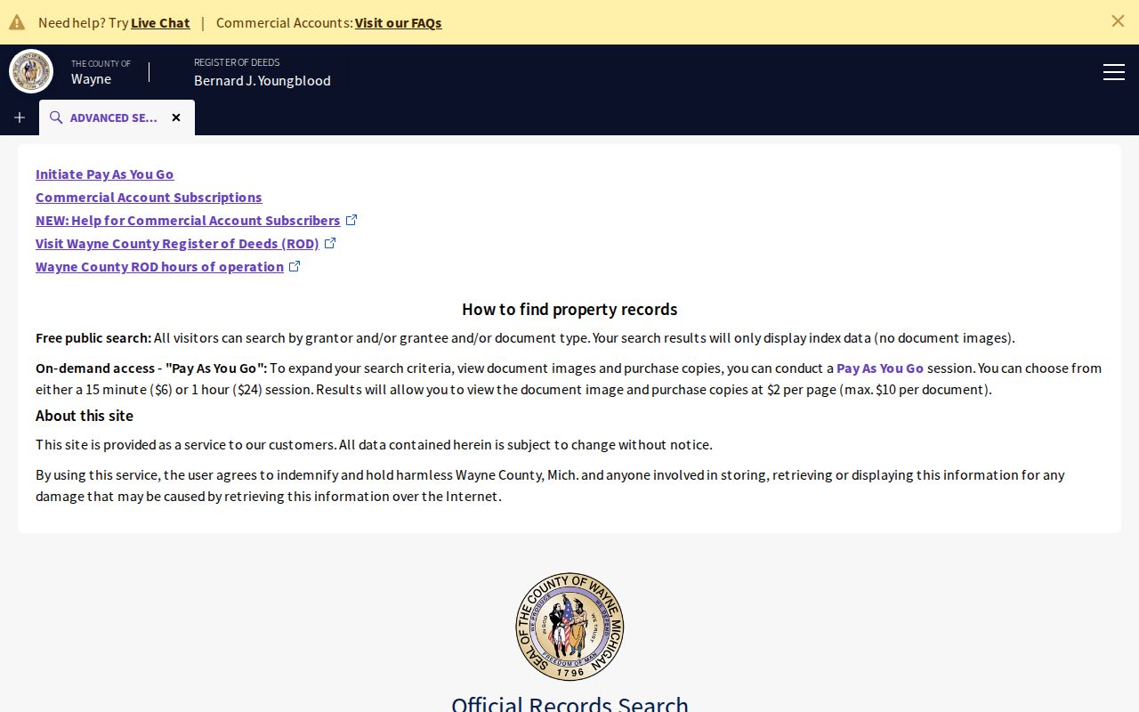
The index landing page is a starting point for recorded-party research, while the legal description is what connects that result back to the street parcel.
Note: For a Dearborn Heights deed trail, compare the legal description at every transfer before treating two matching names as the same property.
Read Dearborn Heights Street Permit Records
Dearborn Heights links property projects, permits, and code-enforcement information through BS&A and the Building Department. A record can provide a work address, application role, inspection status, case ID, or closure date. It is useful for dating a property event, but it should not be stretched into a statement about every person associated with that street address.
An inspected public Dearborn Heights enforcement example, E2022-03180, showed a property, parcel, owner, category, status, complaint date, closure date, and inspection-result fields. It demonstrates the shape of an address-keyed municipal record. The public detail does not establish a complete file or personal responsibility beyond the record's own stated fields.
Note: Permit and code dates can bracket work at a property, but they do not establish the beginning or end of a person's stay.
Read Dearborn Heights Street Guides
For a historic street directory result, the Dearborn Heights Public Library collection spans 1930 to 1967 and includes directories and street guides, some from before the city incorporated. The public description does not identify each publisher, year, or reverse-directory run. Ask the reference desk to verify the volume, section, and page before treating it as a criss-cross source.
When an older record is filed under a neighboring label, the Dearborn Public Library's Polk and Bresser holdings may supply a cross-check. The historical collection itself is described on the Dearborn Heights city directory page. Use a street guide to place a dated name at an address, then use a deed, census, newspaper, or probate source for a separate fact.
Search Dearborn Heights Street History
Older street records may not use the present municipal label. Dearborn Heights formed from two discontinuous Dearborn Township sections and a quarter-mile strip annexed from Inkster. The library archive holds a 1960 Charter, while the city's 2007 Master Plan gives 1963 for incorporation. These sources describe a changing jurisdiction, so a search should test Dearborn Heights, Dearborn Township, Dearborn, and Inkster when a current address fails to appear.
Lot, block, subdivision, nearby intersections, and an old street spelling are better bridges than guessing at a renumbering. No reviewed official source gave a verified citywide renumbering year. Retain that gap and confirm a suspected address change with the library, city Building Department, or Wayne GIS.
Note: Dearborn Heights labels can change across eras, so search the historic municipal name before concluding that an older address has no record.
Limit Dearborn Heights Street Voter Searches
The Michigan Voter Information Center is an individual Dearborn Heights lookup. Its official description uses first name, last name, birth month, birth year, and ZIP, then may return registration, polling, sample-ballot, or ballot-status information for a matching person. It is not a public browse-by-street roster.
A Qualified Voter File request is separate and subject to Michigan rules. MCL 168.509gg protects full birth-date components, phone and email information, signatures, driver-license or state-ID details, Social Security fragments, and protected registration records. A nonmatch can reflect a spelling difference, a move, a protected record, or an input mismatch. It does not establish that a person was never connected to a street.
Respect Dearborn Heights Street Privacy
A Dearborn Heights street directory can connect public property and historical records, but it cannot supply every person at an address. Private utility accounts, motor-vehicle address data, protected court or vital information, and confidential program addresses are not street-directory fields. Michigan's Address Confidentiality Program provides a designated-address and mail-forwarding safeguard for eligible people facing serious safety risks.
Lawful use. Use address records for personal, lawful research and property history. Do not use a record trail to stalk, harass, intimidate, or harm another person.
Where a Dearborn Heights record appears wrong, preserve the citation and contact its custodian. The Assessor addresses parcel records, the recorder handles recorded-document copies, and the city FOIA process is the route for existing city records that are not posted online.