
Dearborn Heights Neighbors Records
A Dearborn Heights block search uses several small, specific record sets. The map establishes which parcels are adjacent. Dearborn Heights BS&A supplies an individual property record. The Register of Deeds tracks recorded title parties. Michigan's voter tools can check one matching person or process a written file request under state rules. Dearborn Heights commissions and a private civic association add public community contacts, not a household roster. Each source has a different key, date, and access limit.
| Source | What it reveals about a block | Access route |
|---|---|---|
| Wayne Parcel Viewer / wcCompass | Dearborn Heights parcel shapes, address relationship, and adjacent geography | Public map and service; popup layers are not fully documented |
| BS&A property search | Individual owner, situs, tax mailing, parcel, permit, and code facts where available | Dearborn Heights address, name, or parcel search; claim or payment controls may apply |
| Wayne deed index | Recorded grantor, grantee, transfer, and legal-description trail for each parcel | Free party listing; images use paid, counter, or mail channels |
| Michigan voter resources | Individual registration or requestable public-file fields | MVIC is person-by-person; QVF is a written request |
| Library street guides | Past Dearborn Heights address and name snapshots across a street | Dearborn Heights library reference and archive access |
Named owners are not automatically current occupants. A Dearborn Heights tax mailing address may be elsewhere, and a parcel can relate to more than one person over time. The first pass should simply identify the Dearborn Heights subject parcel, its adjoining parcels, and the source date for each result.
Dearborn Heights Neighbor Parcel Viewer
wcCompass provides a street-address field and a city selector for Wayne County. The county's interactive maps route also links the Parcel Viewer and its public parcel service. Search the subject address, select the place on the map, and record the parcel identifier and legal location before opening any separate property record. The research confirms public map browsing and selection, but it does not verify a public radius or buffer control. Map panning and adjacent-polygon selection are the supportable method.
Open the official Wayne County Parcel Viewer service before interpreting a copied map view. It is the source for the map-based parcel layer.
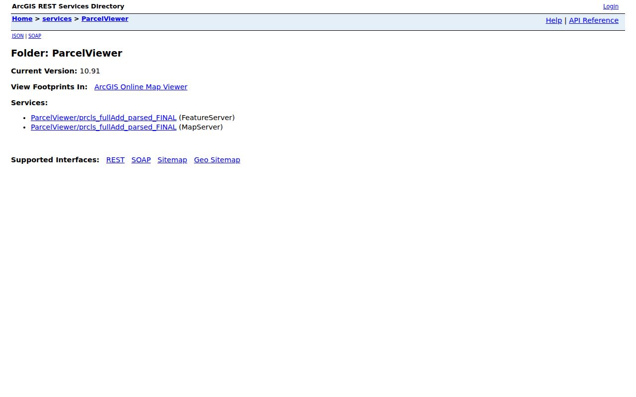
The map supplies geographic context. It does not verify a social relationship, a present household, or a complete set of people connected to an address.
Note: Keep the parcel ID and legal description with each map result because a street number alone may not carry through every title record.
Map Dearborn Heights Neighbors
The Dearborn Heights adjacent-parcel method is a compact process rather than a public neighborhood-radius search. It starts at one address and works only through the parcels that the map displays next to it. This keeps the result tied to the map instead of guessing from a nearby street name. Use a separate line of notes for each parcel so that an owner, a situs address, and a tax mailing address do not get mixed together.
- Enter the Dearborn Heights subject address in wcCompass, choose the appropriate Wayne County city, and locate the parcel on the map.
- Pan or zoom to the polygons that share a boundary or sit on the same immediate block. Record each parcel ID and situs address.
- Search each recorded parcel separately in Dearborn Heights BS&A for owner, mailing, legal-description, and property-module facts.
- Use the Wayne County deed index when a title party or transfer date needs confirmation, then compare the legal description.
For a full named-street chain rather than the immediate block, use the Dearborn Heights street directory. A wider street project needs a different workflow from an adjacent-parcel check.
Dearborn Heights Neighbor Owner Labels
BS&A starts with an address, owner name, or parcel number. Its property results may include the owner, parcel, situs, mailing address, assessed and taxable values, sales, exemption indicators, and related permit or code modules. The sample parcel format is 33 038 01 0479 000. A principal-residence exemption is an administrative indicator, not a list of everyone connected to the property. A permit or code entry likewise identifies a record role, date, or case, not a complete personal history.
Official Dearborn Heights records preserve their own source and date. Compiled commercial neighbor tools may gather public filings, marketing data, and brokered data into one report, but the research warns that those reports can be stale or attach the wrong people to a parcel. The category distinction matters because neither type is a full household account.
| Official block record | Compiled commercial category |
|---|---|
| Links a source fact to a custodian, parcel, case, or recorded document. | May combine multiple data sources with uneven update dates and matching logic. |
| Shows what the specific index or record supports. | Can suggest leads, but may be incomplete or mismatched. |
| Has a counter, mail, or official correction path when a record needs verification. | Removal at one service does not correct the original public source. |
Note: A mailing address is a tax-notice destination and can differ from the physical parcel address, so it should never be treated as automatic occupancy proof.
MVIC and Dearborn Heights Neighbors
The Michigan Voter Information Center is designed for an individual query. Its fields are first name, last name, birth month, birth year, and ZIP Code. A matching result may show registration status, polling location, sample ballot, and ballot or absentee status. There is no verified public MVIC mode for browsing an entire block. A name match should also be checked against an address, date, or other independent record.
The Qualified Voter File is different. The Secretary of State's written request form describes a request for defined data, geographic scope, format, and delivery. Public fields can include name, residential address, year of birth, registration date, status, and jurisdiction codes. MCL 168.509gg exempts month and day of birth, phone, email, signature, state ID or driver-license number, and Social Security fragments. Protected records do not belong in a casual address list.
Dearborn Heights Civic Bodies
Dearborn Heights publishes a civic layer that is distinct from private membership lists. The Boards and Commissions page identifies city-appointed bodies and public contacts. The Community & Cultural Relations Commission meets on the first Thursday at 7 p.m. by Zoom and works across racial, religious, ethnic, and socio-economic lines. These public pages can place a resident in a civic context, but they do not offer a directory of nearby households.
| Community layer | Public information | What it is not |
|---|---|---|
| Dearborn Heights boards and commissions | Appointed bodies, meetings, and official contacts | A map of private residences |
| Community & Cultural Relations Commission | Public meeting and civic-participation information | A citywide association member roster |
| City zones map | Geographic officer divisions and civic geography | A block-level resident list |
| Library reference collections | Historical directories, newspapers, and local context | Proof that a historical name is current |
Dearborn Heights Association Leads
The specific private group surfaced in the research is the Dearborn Hills Civic Association. It is a community lead for the wider Dearborn and Heights geography, not a citywide official index. The public page invites residents to join, gives an email sign-up path, and lets members control profile visibility. It does not publish a member roster. The source set did not locate an official Dearborn Heights citywide association directory, so no broader coverage should be assumed.
Dearborn Hills Civic Association
Annual dues: $25
P.O. Box 2535
Dearborn, MI 48123
Visit the Dearborn Hills Civic Association source before using the captured page below. It supports a joining path, not a private-membership search.
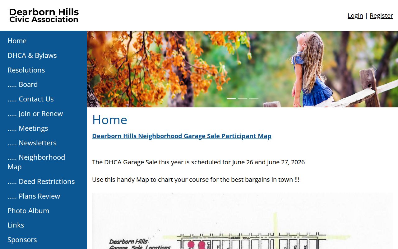
The association is a useful community contact, while the city commission and boards pages remain the official civic layer for Dearborn Heights.
Old Dearborn Heights Neighbors
The Dearborn Heights library holds directories and street guides from 1930 to 1967, along with the Dearborn Heights Leader newspaper run from 1962 to 1975. These dated sources can show a past name-and-address relationship and help a family-history search follow a block through time. The exact publisher and complete reverse-directory run are not confirmed in the public collection description, so a reference-desk request is safer than assuming every year has the same format.
Historical labels can complicate the search. Dearborn Heights grew from former Dearborn Township sections and an Inkster strip, and older records may use Dearborn Township, Dearborn, or Inkster. Compare a directory entry with a parcel legal description, nearby intersections, census, deed, or newspaper evidence before deciding that two addresses are the same place.
Neighbor Privacy in Dearborn Heights
A parcel map cannot show every person connected to a property. Household members, private utility and delivery data, DMV records, confidential court or vital material, protected voter information, and unposted association profiles stay outside this kind of search. Michigan's Address Confidentiality Program protects eligible participants through a designated address and mail-forwarding arrangement. An absent result should never be used to infer that a person is not protected or has no connection to the area.
Correction work goes back to the custodian. The Assessor is the route for property-card facts, the Register of Deeds for recorded document issues, the Secretary of State for election records, and an association for its own public contact information. Keep the source URL, parcel ID, case number, or document reference when asking about a specific record. That makes an official response much more useful than a broad claim about the block.
Lawful use. Use Dearborn Heights public records for family history, reconnecting, property context, and civic awareness. Never use them to stalk, harass, intimidate, or harm another person.
Note: Michigan's Address Confidentiality Program is a safety protection, not a general request to erase every public record.